Listen to the mountains and go where they tell you
Partner: Sam Lien
Mileage: 130ish
Gain: 65000' ish
Elapsed Time: 14 days
Approach/deproach: Minimal road walking
Ski Gear: Medium heavy - Tecnica Zero G boots and Zero G 95 skis
Technical Gear: Petzl Irvis hybrid crampons and a single axe
Rope: Nope
Pack: Overnight with lots of food
Start: Whitney Portal
Finish: Mt. Humfreys/Buttermilk Boulders (Bishop)
Dryland: Ha, didn't even bring shoes! (a short dry road walk on either end)
I want to get one thing straight right off the bat, this is a joey bag-o-donuts everyman attempt on this thing. We did not hit the ball out of the park or do anything innovative, no FKTs were set. If you want to read about someone who did something truly incredible on this route you can read Jed Porter's writeup below. Loyal readers may note that Jed also holds the Pickets Traverse FKT (set while he was guiding!).
We spent two weeks of our life in awe of this guy as we tried (and sometimes failed) to follow his route. I felt a little better doing some additional reading about him after when I realized he is probably one of the most experienced ski-traversers anywhere. Jed had an incredible run on this route in 2017, skiing way more cool stuff than we did. In just two more days he made it all the way to Mammoth (we bailed to Bishop). Fortunately for this blog post he didn't seem to take any decent photos, so at least I can offer that. I need to thank him for his kindness offering beta and sharing his route, in keeping with Jed's approach I'll offer my route to anyone who bothers to reach out to me, but won't be posting it here.
We spent two weeks of our life in awe of this guy as we tried (and sometimes failed) to follow his route. I felt a little better doing some additional reading about him after when I realized he is probably one of the most experienced ski-traversers anywhere. Jed had an incredible run on this route in 2017, skiing way more cool stuff than we did. In just two more days he made it all the way to Mammoth (we bailed to Bishop). Fortunately for this blog post he didn't seem to take any decent photos, so at least I can offer that. I need to thank him for his kindness offering beta and sharing his route, in keeping with Jed's approach I'll offer my route to anyone who bothers to reach out to me, but won't be posting it here.
Technically, this was my second attempt on the Bugs To Rogers, the first time bad weather sent me to Wyoming in 2015 where I skied the Grand Teton, This time a persistent weak layer on that route had me looking for other places I could do a long ski traverse. The Sierras had an incredible snow year so they seemed like a logical choice. Luckily I came across Jed's Wild Snow blog and the rest is this blog post. I think I might attempt the Bugs to Rogers every year.
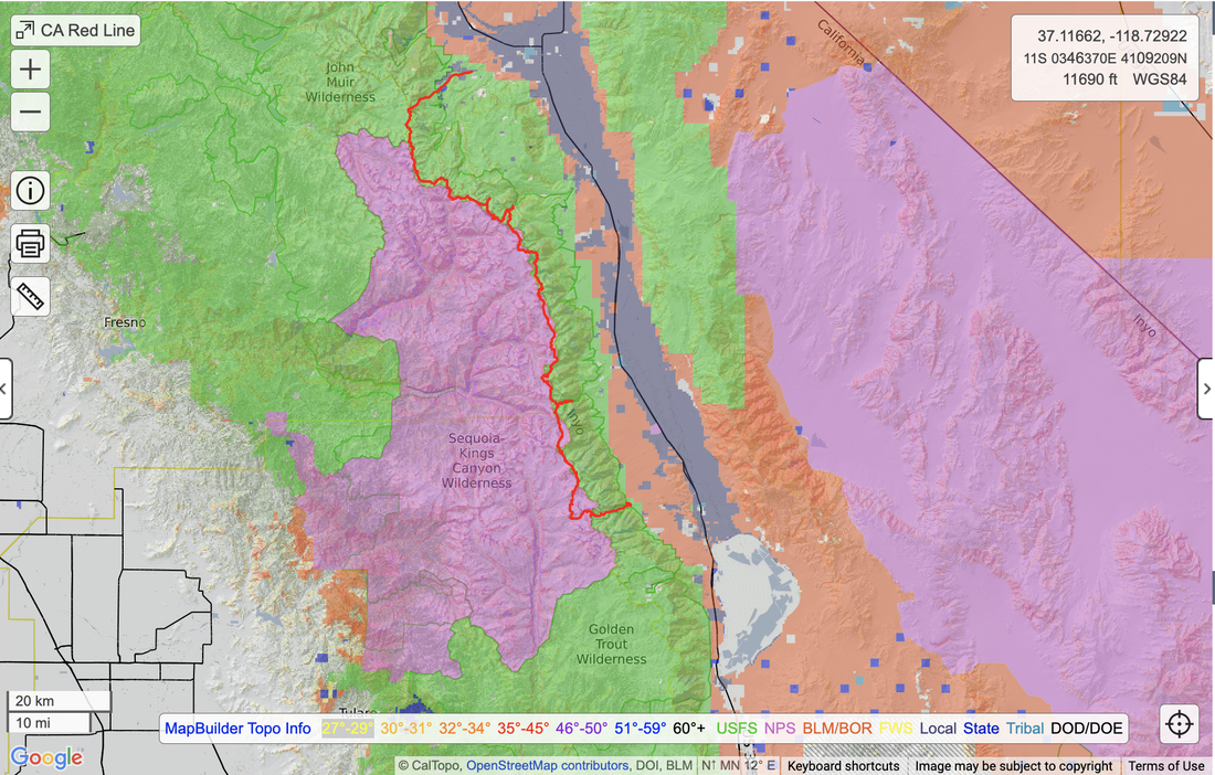
Ok, what the heck is the Red Line? ...and no it's not institutionalized racism in the mortgage market, though backcountry skiing does have a long way to go when it comes to diversity. The Red line is the boundary line between The John Muir Wilderness and Sequoia/Kings Canyon National Park, on old USGS quads this line was shown in red, thus the red line. The cool thing about it is it runs right along the crest of the Eastern Sierras (purple green interface below).
Ok, what the heck is the Red Line? ...and no it's not institutionalized racism in the mortgage market, though backcountry skiing does have a long way to go when it comes to diversity. The Red line is the boundary line between The John Muir Wilderness and Sequoia/Kings Canyon National Park, on old USGS quads this line was shown in red, thus the red line. The cool thing about it is it runs right along the crest of the Eastern Sierras (purple green interface below).
A terrific discussion of the route's origin and history can be found in the backcountry mag podcast below. As far as I know Jed was the first to do a single push. Many locals had been chipping away at it in chunks over the decades.
This trip felt quite logistically complex for being in the lower 48. Turns out Bishop just isn't easy to get to. They do have commercial flights, but not during the shoulder season so that leaves Reno and Vegas. Sam and I are both busy professionals with inflexible schedules so we had 16 days to work with including travel, those dates had been chosen months before. We did our best to plan flights, rental cars, a shuttle to the start, food drops and how to get home. As with any ski trip it all came down to hitting refresh on the weather report about a week ahead of time. Our bad luck in Canada turned to good luck in California as the relentless late season weather systems stopped coming about a week before our departure and things started to go blue.
We spent all day flying to Vegas, driving to the Sierra, and putting out two food drops. Robert from Sierra Shuttle Service (can't recommend highly enough) was picking us up the next morning to get us from Bishop to the Whitney Portal. It was a relief to be dropped off at Whitney Portal and actually start walking after all the logistical wrangling. The relief wouldn't last for long though as the first day was one of the hardest.
Did I mention that we were coming from sea level with absolutely no acclimatization? (he said while making excuses for not crushing harder). Anyways we were on Diamox (gotta love the tingles), but I was really wondering how our bodies would handle going high and staying high under such a heavy workload. The weight of the pack and the altitude conspired with a very hot sun to make the first day absolutely miserable. We had to start below the switchbacks going up to Whitney Portal, and rolled into camp under Whitney late and exhausted at the end of day 1.
Things improved day 2 when we took light day packs to the top of Whitney and had a great ski of the Mountaineers Route, feeling pretty good at altitude. After that though we had to shoulder our overnight packs, full of food, and push up to 13.5k, a rather tiring task. The Russell/Morgenson/Hale ridge line just north of Whitney proved to be quite an obstacle. Jed zipped right over Russell, but that climb looked like steep exposed snow for a long ways and we tried to avoid it with a shortcut over a ridge. Cliffed out on our "shortcut" we chose to end run the whole thing and found a terrific couloir to ski by Mt. Young. We rolled into camp, late and exhausted again.
The good thing about this traverse is that there are a plethora of bail options. Rarely were we more than one ridge from a downhill ski East to civilization. We had entered the trip hoping to make it all the way to Mammoth, but also recognizing we probably wouldn't. Even by making camp on day 2 it was becoming very apparent we weren't going to make it to Mammoth unless something magical happened to our legs. Not a big deal though, there are a plethora of access points we could exit by so we could just basically keep going til we ran out of time and then turn East to exit.
Day 3 was one of only two days lacking steep climbing or skiing, we covered a lot of ground over moderate ridges and rolling valleys with a few mega traverses thrown in. To me a mega traverse is when you can sidehill in downhill mode and cover miles of terrain in short order. That would prove to be a common tactic on this trip which really helped move things along. Many mornings we would climb for hours just to get up a few thousand feet and maybe a mile, then transition to skiing and promptly cover 3 miles in 15 minutes. The hard windblown snow and refrozen corn were perfect for it. It's not the most fun skiing, but there's no better way to cover terrain on skis... and that's what we were there to do.
Day 4 had us ski up and over University in addition to some more moderate terrain with a decidedly ancient Greek theme. We made it to Onion Valley and I dropped down for our first food drop. We used Ursacks for the food drops so that we could take them along with us and not need to collect canisters later. They worked great and don't weigh too much or take up a lot of space.
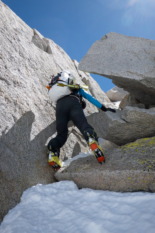
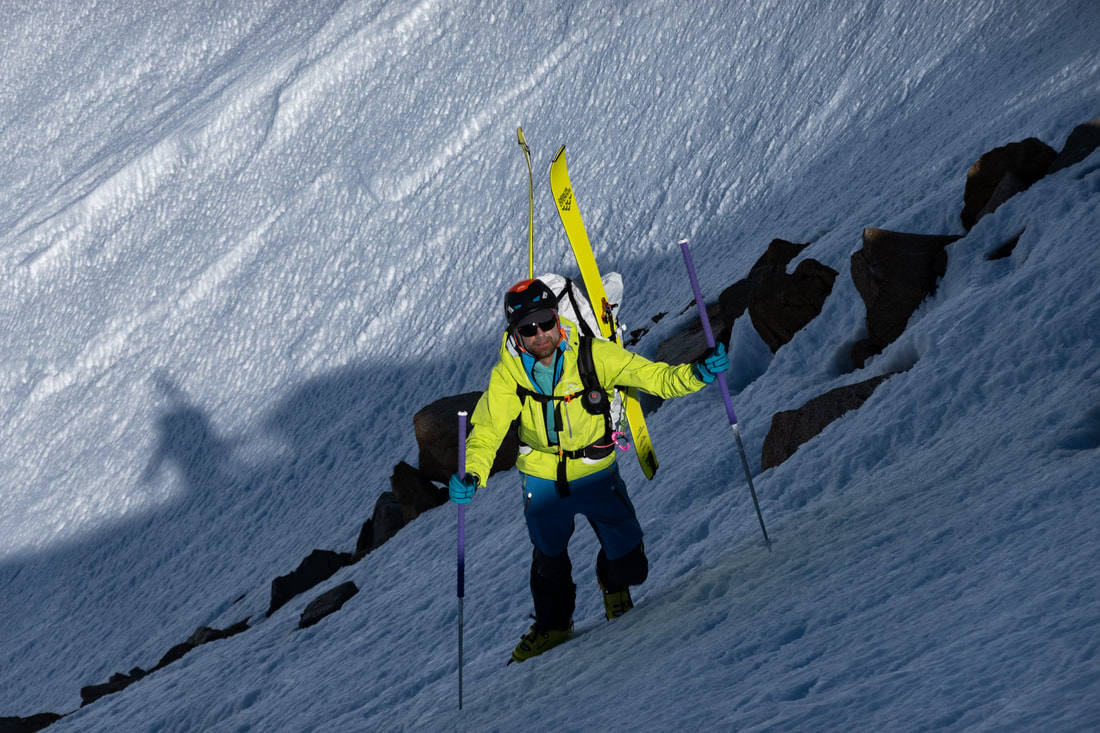
Day 5 had us skiing the NW couloir on Dragon, a truly incredible line, now we were really in the meat of thing. We were also supposed to go up and over Black but got cliffed out on our way up. We were wiped and it was late in the day, All that separated us from an easy snow slope that would have gotten us up and over Black was about 15' of technical scrambling. Scrambling with ski boots and overnight gear is obviously sketchy and we tried to keep our risk tolerance for that sort of thing quite low, so bail it was. We ended up end-running Black to the West. The nice thing about this route was that many (but not all) of the technical ridges can be end-run.
Day 5 had us skiing the NW couloir on Dragon, a truly incredible line, now we were really in the meat of thing. We were also supposed to go up and over Black but got cliffed out on our way up. We were wiped and it was late in the day, All that separated us from an easy snow slope that would have gotten us up and over Black was about 15' of technical scrambling. Scrambling with ski boots and overnight gear is obviously sketchy and we tried to keep our risk tolerance for that sort of thing quite low, so bail it was. We ended up end-running Black to the West. The nice thing about this route was that many (but not all) of the technical ridges can be end-run.
Day 6 was a truly mellow and rolling day. Really incredible when you think of it, so much terrain could be covered with so little "flat". Day 7 was back to the steep stuff with a crossing the Cardinal ridge. One of the coolest things (and most stressful) about this route is that you are ascending moderate to steep south faces and then descending very steep north faces. It means you are constantly dropping into steep unknown terrain, it gets a little mentally taxing. The Caltopo slope angle shading layer really helped, but let's just say that purple can mean a lot of different things, and small features don't always show up. Technology is great but there is still a place for one's mountain sense, plus a little luck. I could have spent several days skiing steep stuff in the Cardinal basin. It's a zone filled with some truly incredible lines. Sam's favorite descent of the trip was Cardinal via a big North face, east of a couple couloirs.
Day 8 got us up and over the Palisade ridge East of Disappointment Peak, we were anything but. Sam had gotten his food drop pretty far up into the Palisade approach (only 500' below our camp), but we decided to get rid of some stuff. Not wanting to have to skin on our final travel day he took one for the team and skied to the Big Pine Creek parking area about 1500' below the drop. We jettisoned trash, Ursacks, used canisters, avi gear, and a few random items each of us wasn't really using. We probably ditched 3-4 lbs per person so it was well worth Sam's skin and the short drive to retrieve everything at the end.
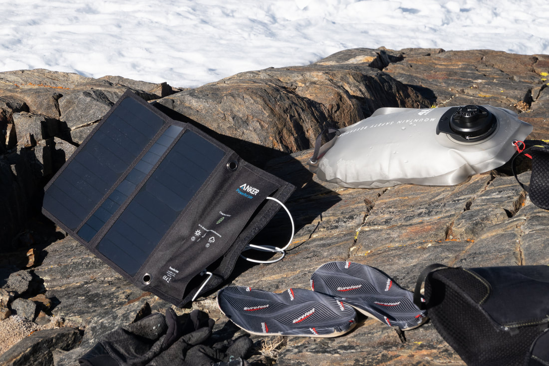
Day 9, I never realized how hard a rest day could be. It's mentally exhausting to be surrounded by food you can't really eat much of and to be that damn hungry. My metabolism was raging, it was feeling like my whole existence was turning food into forward progress. The morning of the rest day was quite nice and warm. We charged devices and read in the sun, then the only weather system of the trip rolled in. High winds and show followed, along with some downright cold temps. My 20 degree sleeping bag was at it's limit most nights, but that would be especially true the following two nights. The other frustrating thing that happens (and I think this is true of any tent in a cold environment) condensation from our breath would freeze to the inside of the tent and any shaking of the tent would make it fall off, Our own personal snowstorm, didn't exactly make sleeping comfortable, at least things would dry out during the day.
Day 10 looked to be shaping up to be a second rest day with clouds obscuring the ridge-lines and high winds, but about half way through the day the clouds broke and the wind calmed (a little). We decided to run it out a little and push on. It was incredible to be breaking trail through fresh snow under the palisades with nobody around. The weather was coming from the east so we really got hit when we crossed Schimitar Pass. We were committing ourselves to making it through the V-Notch Coulior on Polemonium, it's a commonly skied, but pretty full-on line.
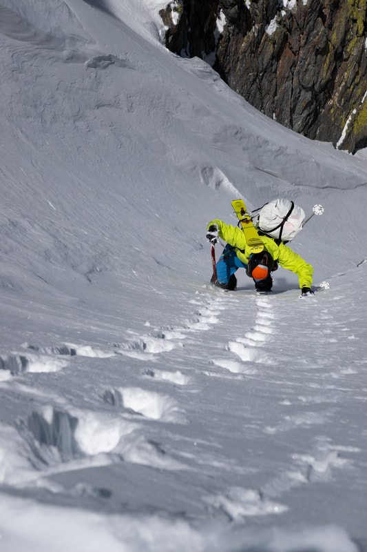
The V notch was full value, some of the steeper turns of the trip, in some fully wintery conditions and with packs loaded with food. Shenanigans were had, but in the end everything felt in control and we skied down pretty low to hide from the wind and make camp.
Day 11 had us skiing Aggasiz then working our way towards Gilbert. We had hoped to ski Gilbert but exhaustion intervened. We were knocking out 4-6000' every day other than the rest day, but it was really adding up. I would find that I would feel good for most of the day, but my energy would decline precipitously at some point in the afternoon, sometimes reaching a "I can't keep going" state. I'm pretty happy we didn't try to ski Gilbert on tired legs...
Day 11 had us skiing Aggasiz then working our way towards Gilbert. We had hoped to ski Gilbert but exhaustion intervened. We were knocking out 4-6000' every day other than the rest day, but it was really adding up. I would find that I would feel good for most of the day, but my energy would decline precipitously at some point in the afternoon, sometimes reaching a "I can't keep going" state. I'm pretty happy we didn't try to ski Gilbert on tired legs...
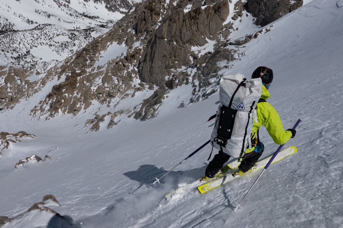
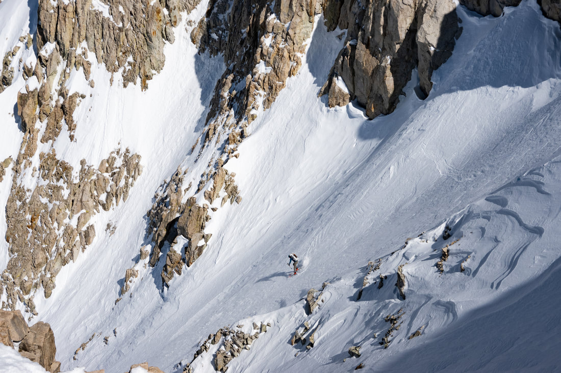
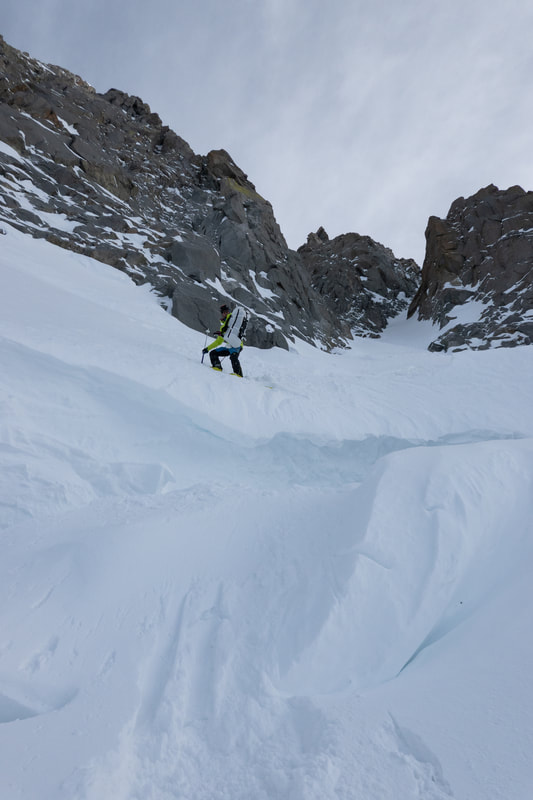
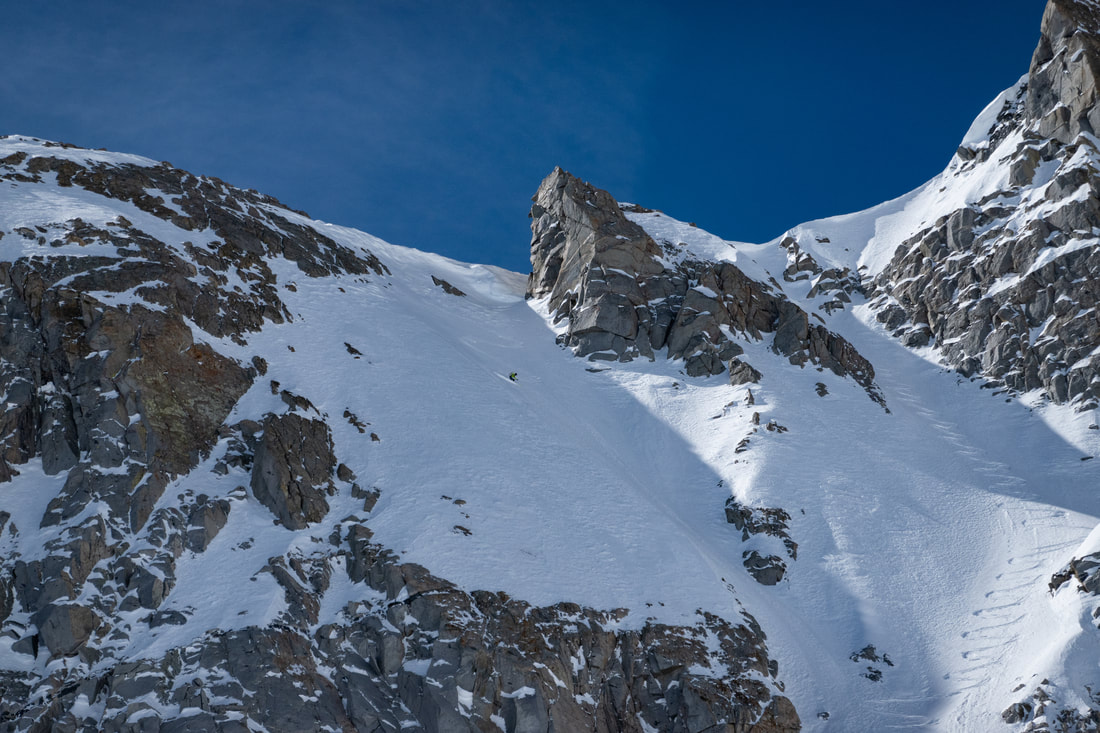
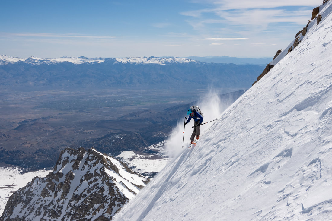
Gilbert on day 12 was without question the descent of the trip for me. It had a perfect couloir filled with perfect snow, in the middle of nowhere. The recent precipitation had been blown off most aspects, but was clinging to protected north aspects. The Eastern N couloir was so good. Probably one of the most fun steep lines I have ever skied. Sam opted for an open face just to the east so we each had our own adventures. It was so much fun to feel comfortable making 50 degree jump turns with an overnight pack, it was just another day.
Yet another basin that we could have spent several days in skiing everything. Alas such is the fate of a ski traverser, to always be skiing by amazing things you don't have time or energy to ski.
After Gilbert we needed to keep things moving and we were starting to get really tired. Initially our plan had been to exit via Pine Creek (not to be confused with Big Pine Creek...). Even that was seeming line a little much, we also noticed that after Mt Humphreys the terrain really mellowed out. There were still some steep peaks here and there but in between things would be getting quite flat. Exiting via Humphreys also make the pickup logistics easier since it would put us right by Bishop so we decided that would be our exit.
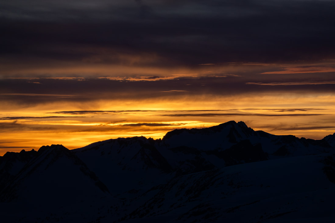
I think the evening of the 12th was the roughest for me. Still not that close to the finish, hungry, tired, and missing loved ones. It was the longest trip I had done so my first time really feeling that longing for home. Day 13 was to put us in a good position for a quick exit via Humphreys. There were actually several terrific ski descents that day, one ruined by terrible snow, but at least they weren't crazy steep as we were pretty tired. We made it to a nice mellow area just south of our objective for the last camp. The mountains proceeded to give us the incredible gift of a beautiful sunset followed by a calm and not too cold night to send us off.
Day 14 dawned and we had a straightforward ascent of Humphereys and began our very long ski down to the Buttermilks.
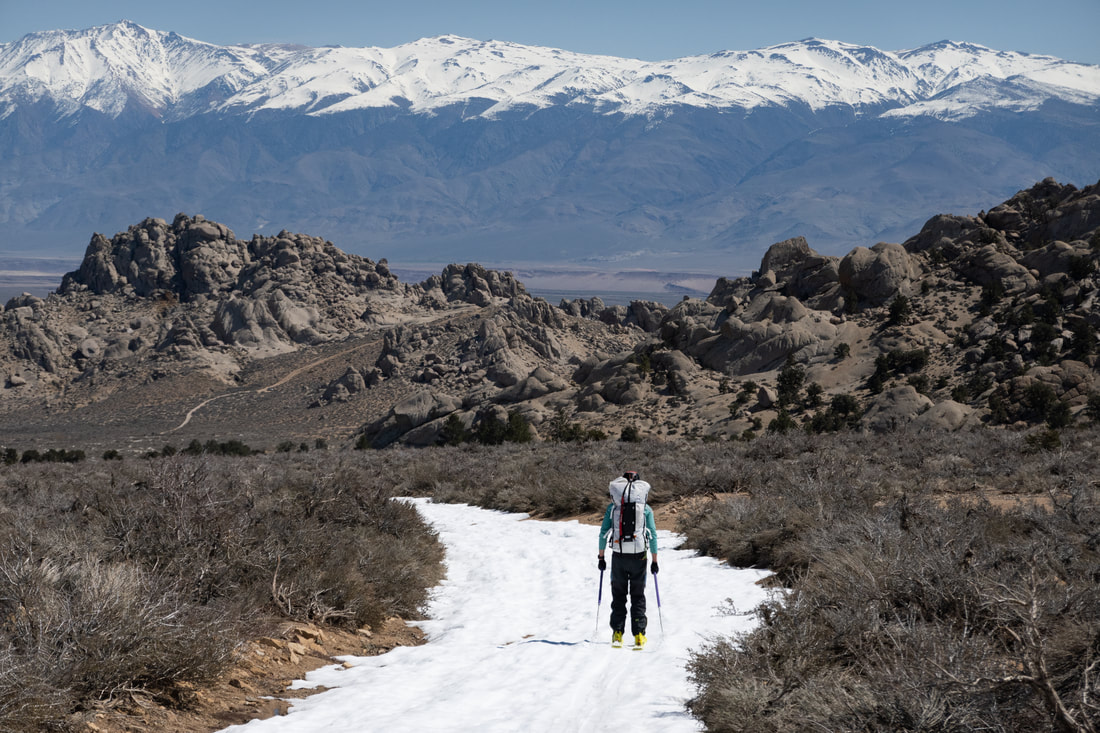
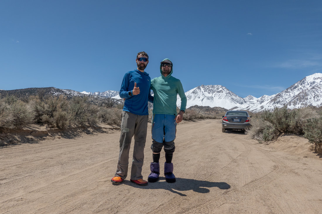
A friend had stashed a rental car for us on Buttermilk road, but we had to walk about 3.5 miles in ski boots due to washouts. After that it was down to Bishop for a burrito and a shower. Also my first truly good night's sleep in 14 days. I was hoping my body would adapt to sleeping out there, but it never really did. I wasn't sleepy during the days, but just never felt like I was getting that deep uninterrupted sleep I get at home. I'm sure there were a lot of factors impacting that.
A big thank you is to the Eastside Guest House in Bishop, they allowed us to leave two very large duffel bags with them while we were on the route. It's a super nice place, also can't recommend them enough.
My takeaways:
A couple other logistical notes. We adhered to 2 lbs of food a day per person and 2 oz of fuel a day per person and it worked out quite well. There was virtually no running water and we had to melt everything other than a little solar snow melt in the dram bag. We put apples in the drop bags but I do wish we had put a little more extra food to be eaten right away when we picked them up. That would have been especially nice on the rest day.
I'm writing this two weeks after the trip. I went on a run this morning (after doing very little the last two weeks) and finally felt back to my old self. The deep fatigue made the first week back super hard and even this week my legs were feeling dead. It was a rough 10 days of full blown post-trip blues and fatigue that just wouldn't go away.
Thanks to everyone who supported us on this incredible trip: Ben, Diana, Anne, Rainier, Robert, Jed, and random guy from Truckee who took our trash below Cardinal. We Couldn't have done it without you!
My takeaways:
- The Eastern Sierras are incredible (on a good snow year)
- Dry air and sunshine are nice assets when in the backcountry
- Watch out for trying to best multi day itineraries set by super strong guides
- The Hyperlite Ice 70 is a fantastic pack for this kind of thing
- Deep fatigue is a real issue on longer trips, to go for much longer we would have needed real rest
- Diamox is good stuff, enjoy those tingles
- Sorry old school folks, we navigated the entire thing with our two iPhones using Caltopo, no paper maps weighing us down ; )
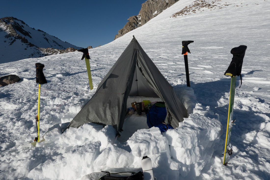
- The pole A-frame method makes for a superior erection of the Megamid
- Even though we didn't make it to Mammoth I'm calling this a complete Red Line, the Park boundary we were following turns West away from the Sierra crest at the Keyhole Plateau which we crossed on Day 13
A couple other logistical notes. We adhered to 2 lbs of food a day per person and 2 oz of fuel a day per person and it worked out quite well. There was virtually no running water and we had to melt everything other than a little solar snow melt in the dram bag. We put apples in the drop bags but I do wish we had put a little more extra food to be eaten right away when we picked them up. That would have been especially nice on the rest day.
I'm writing this two weeks after the trip. I went on a run this morning (after doing very little the last two weeks) and finally felt back to my old self. The deep fatigue made the first week back super hard and even this week my legs were feeling dead. It was a rough 10 days of full blown post-trip blues and fatigue that just wouldn't go away.
Thanks to everyone who supported us on this incredible trip: Ben, Diana, Anne, Rainier, Robert, Jed, and random guy from Truckee who took our trash below Cardinal. We Couldn't have done it without you!
